
119.52± Acres – Pivot-Irrigated Cropland in Dawson County
$986,000






Property Summary
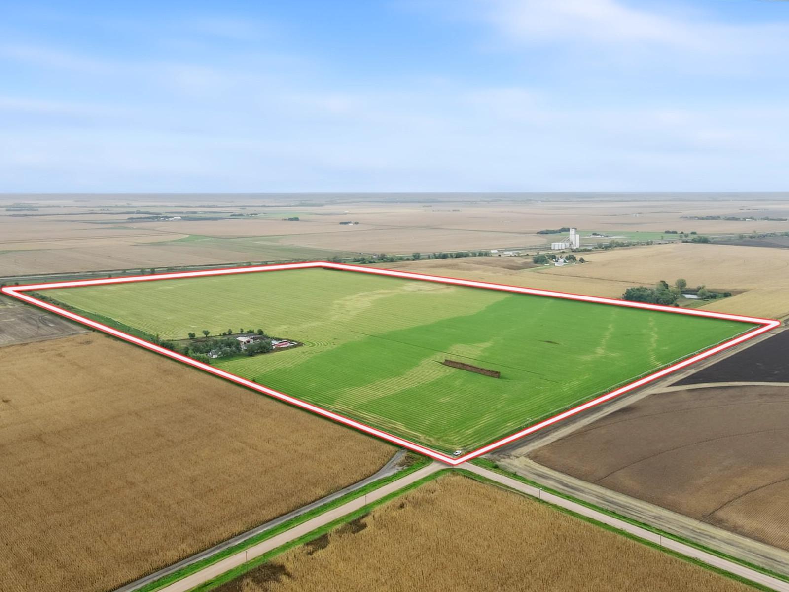
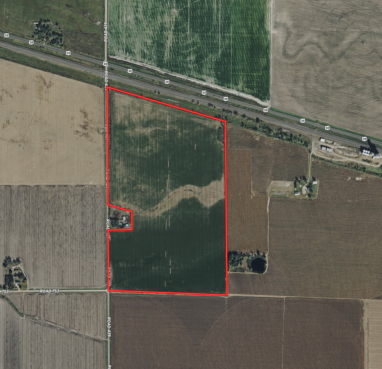
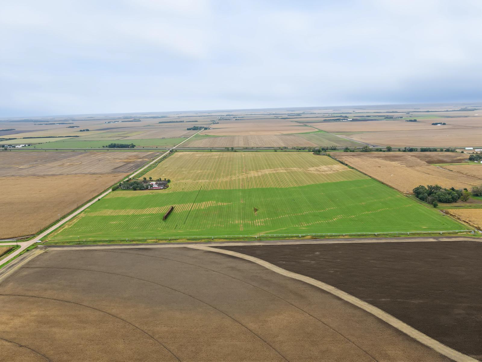
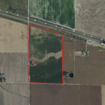
Highway 30 frontage, productive soils, and 115.54± certified irrigated acres highlight this 119.52± acre Dawson County farm. Located south of Highway 30 at Road 439, the property offers convenient access for area producers looking to expand or investors seeking agricultural land.
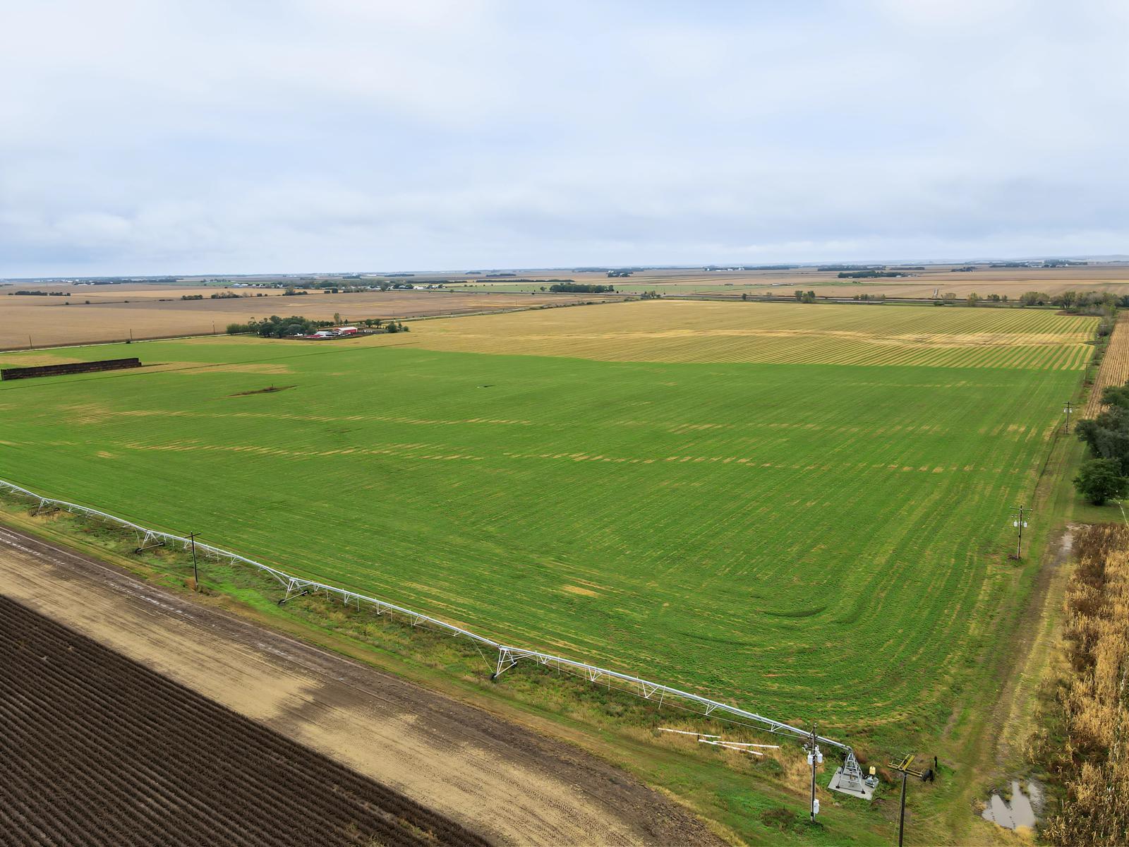
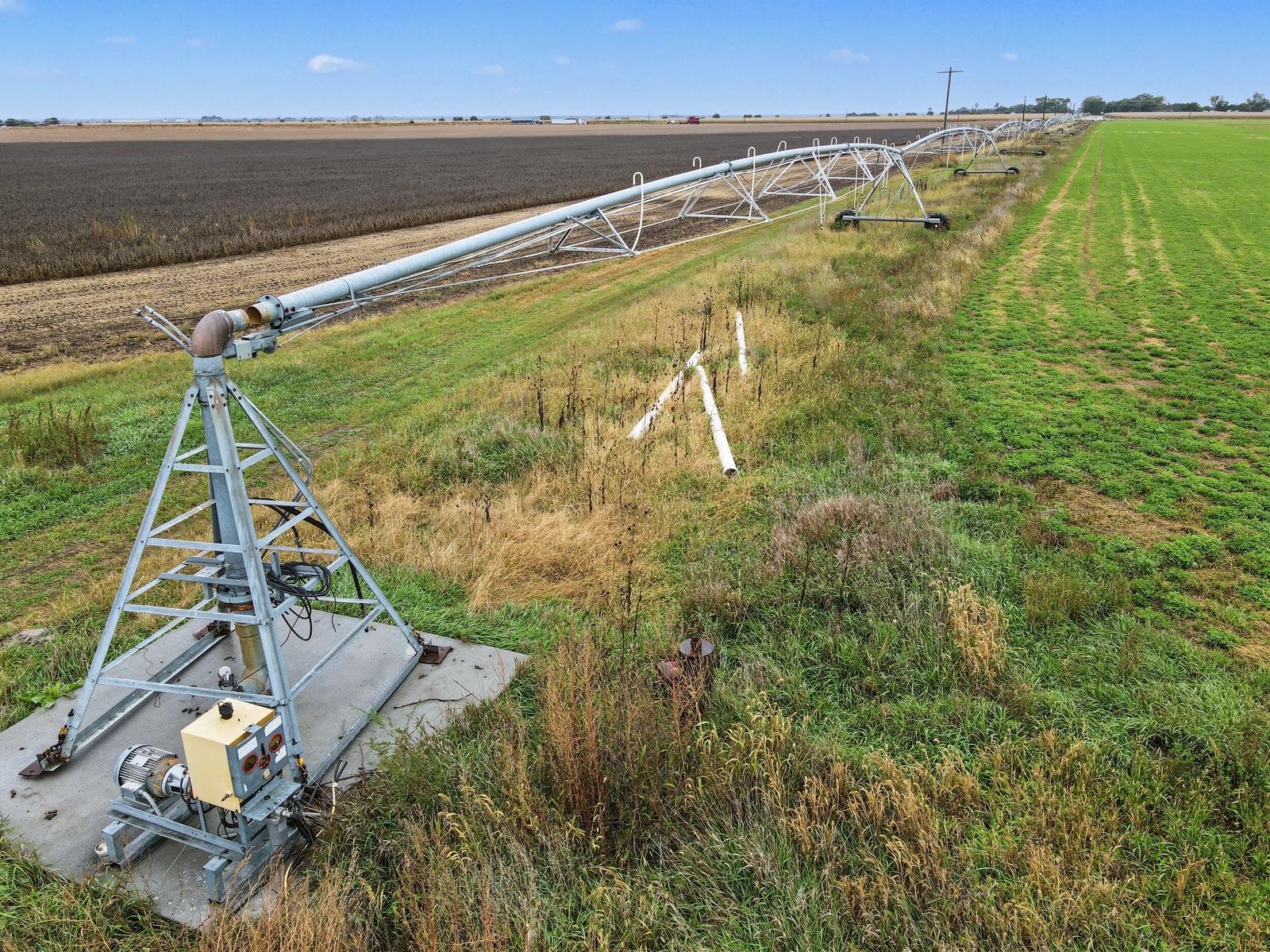
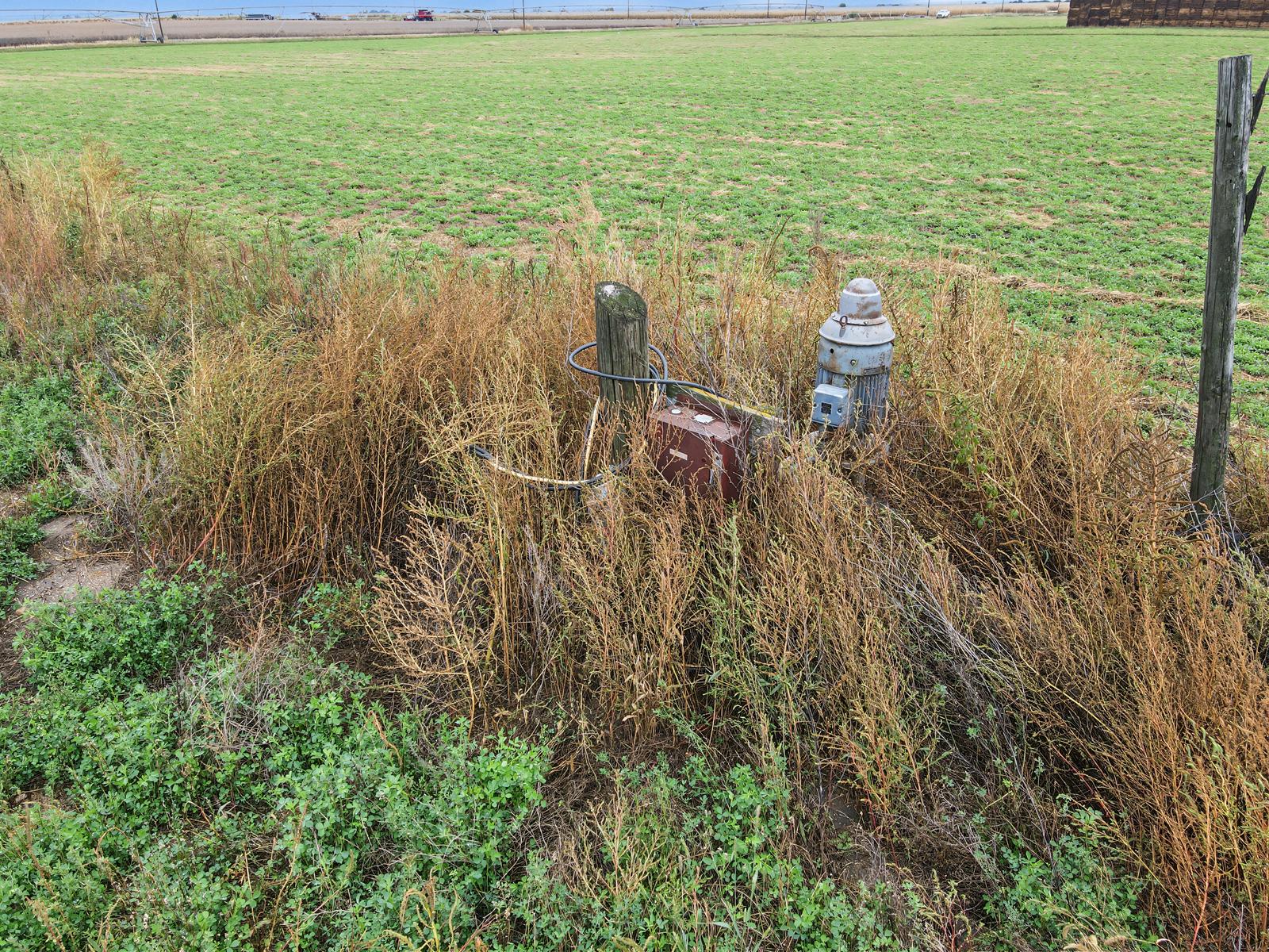
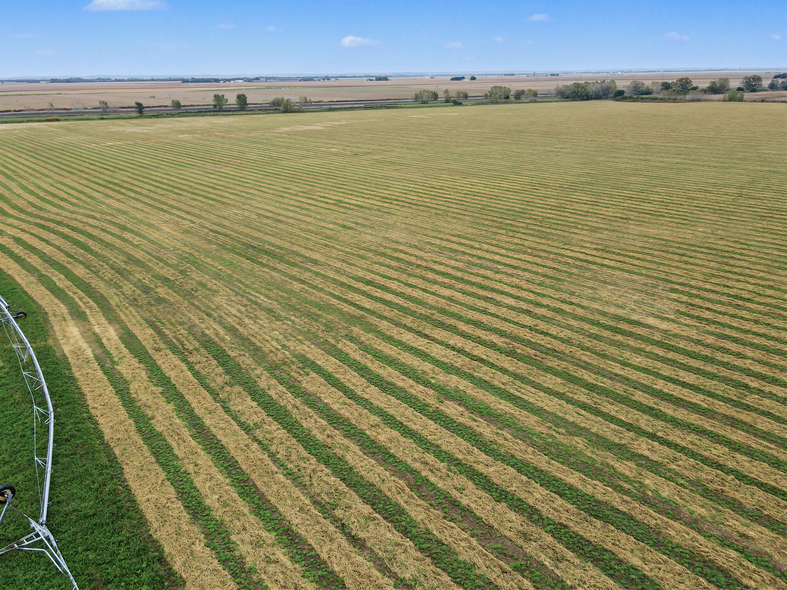
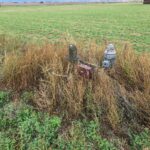
The farm includes two irrigation wells currently in use and two center pivots included with the property. The pivots have never been connected and have not been operated on this farm. Estimated pivot coverage is approximately 99.5 acres—45.5 acres under the north pivot and 54 acres under the south pivot. These figures represent estimated coverage, not acres currently irrigated by the pivots. Certified acres outside the estimated pivot coverage can be gravity irrigated. A third registered well at the far north end is not currently used.
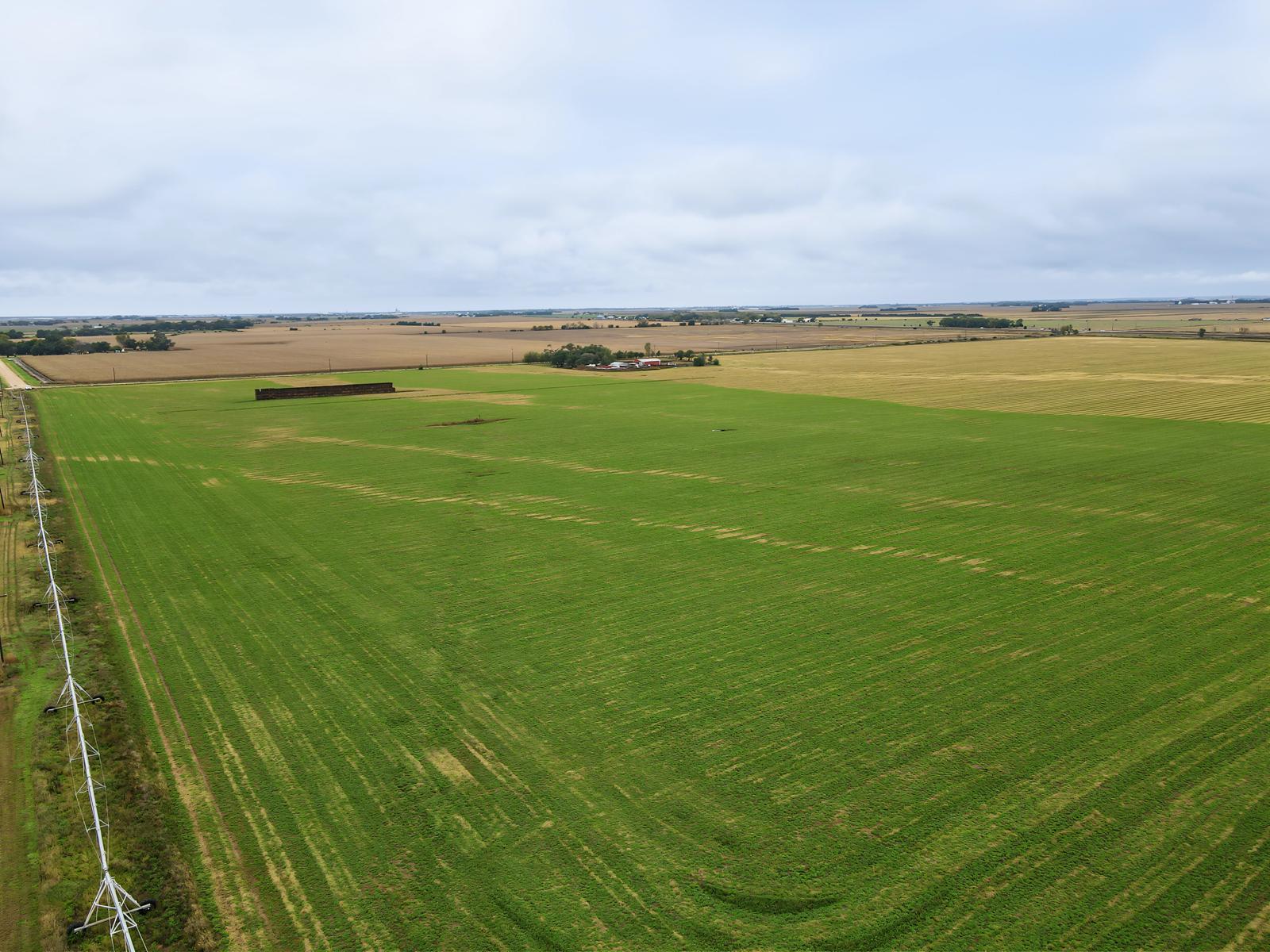
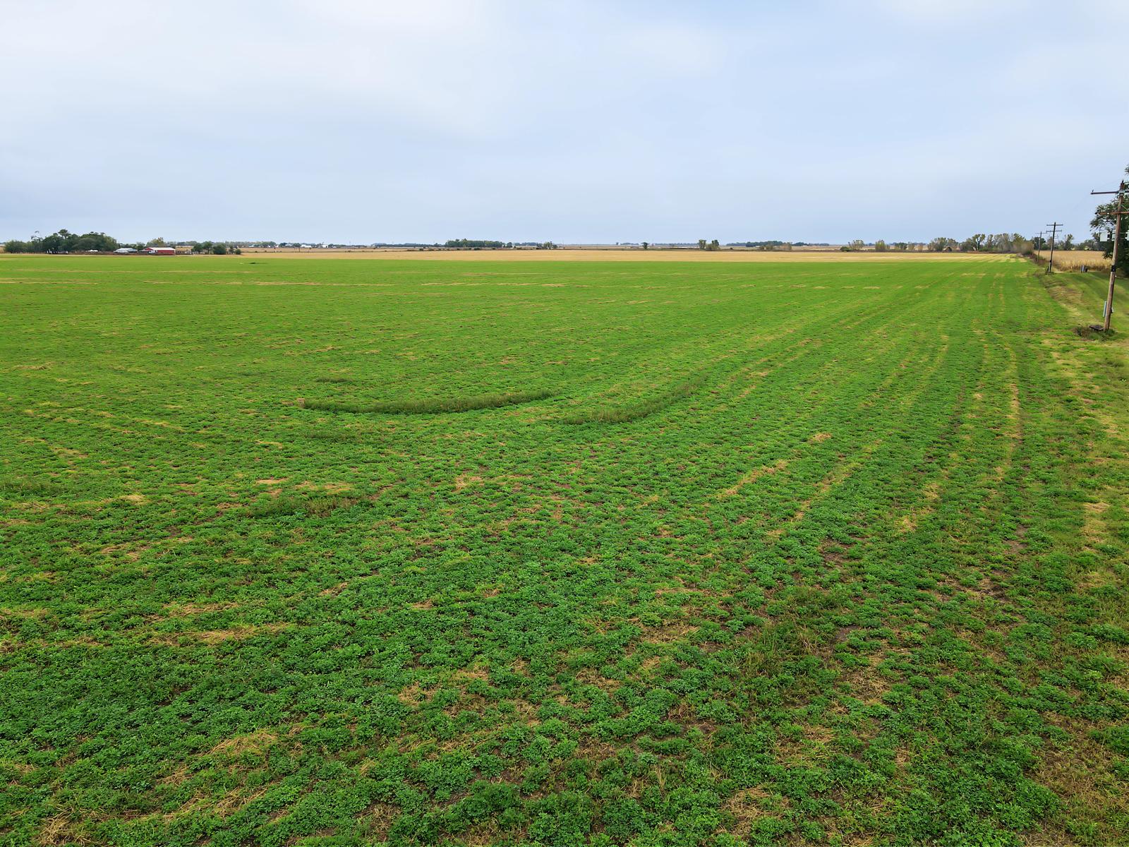
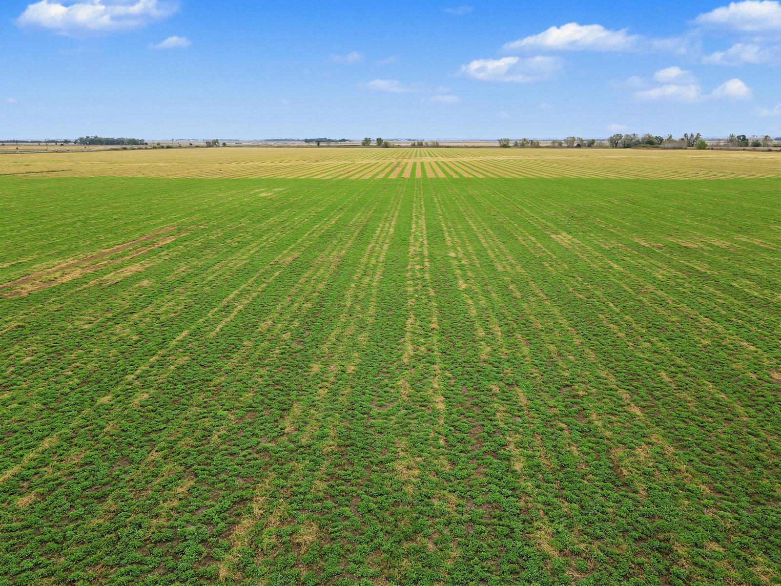
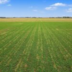
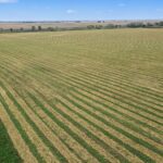
Currently planted to alfalfa, the property is available for the 2027 crop year.
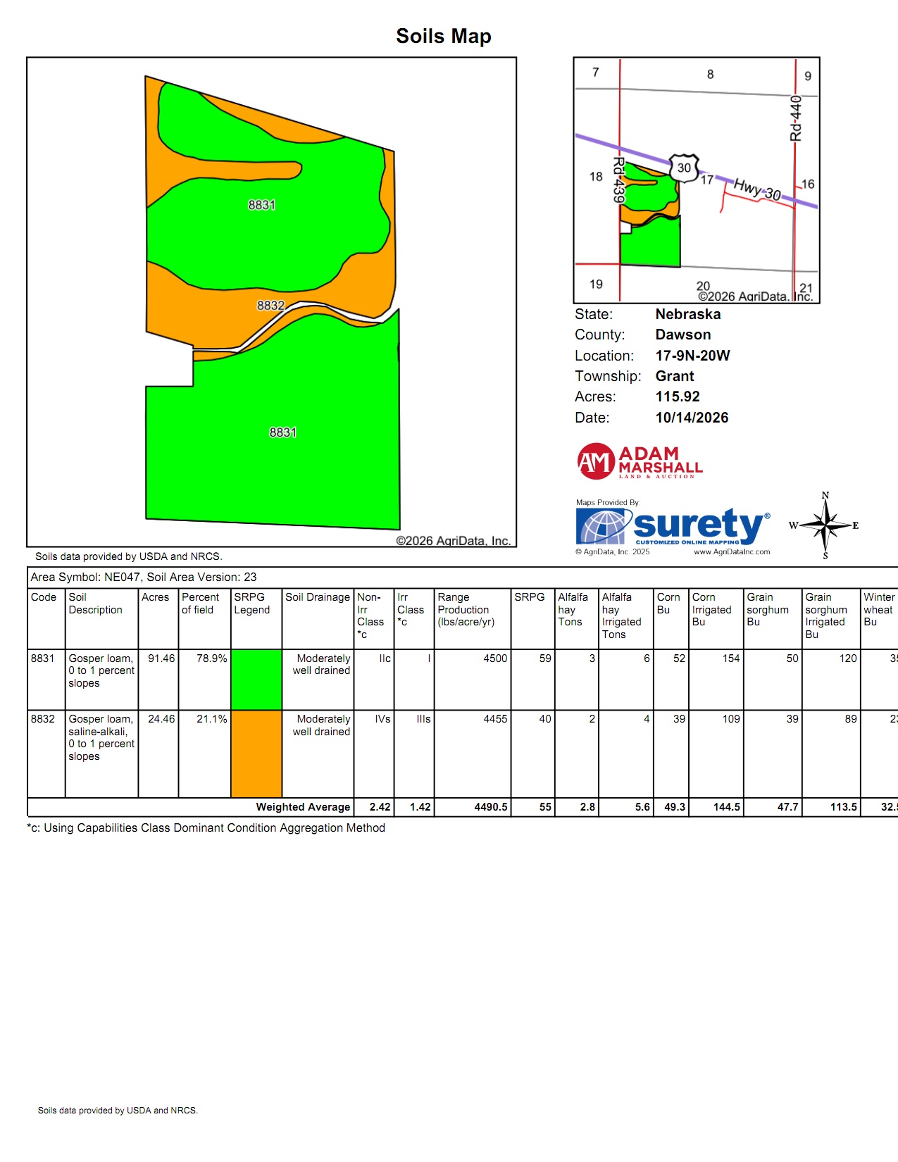
Soils consist primarily of Gosper loam on nearly level, 0–1% slopes. The majority of the farm is irrigated Class I soil, with portions of saline-alkali Gosper loam.
Property Highlights
Irrigation Well Information
South Well: Registration: G-001088, Completed 8/1/1946, 52.1 Acres Irrigated per well registration.
Well North of House: Registration: G-067362, Completed 4/18/1981, 40 Acres Irrigated per well registration, 1,100 GPM, Static Level 13 Ft, Pumping Level 84 Ft, 8” Pump Column, 255 Ft Well Depth.
Far North Well — Not Currently Used: Registration: G-023203, Completed 8/5/1964, 21 Acres Irrigated per well registration, 800 GPM, Static Level 9 Ft, Pumping Level 23 Ft, 8” Pump Column, 40 Ft Well Depth.
Well specifications reflect registration records. Registered acreage figures are separate from the farm’s certified irrigated acres.
FSA Information
Cropland Acres: 115.92
Program Enrollment: PLC Default Program
Corn: 81.34 Base Acres with a 168 Bu. PLC Yield
Soybeans: 27.69 Base Acres with a 56 Bu. PLC Yield
Legal Description: West 110 rods of the W½ of Section 17, Township 9 North, Range 20 West, lying south of the railroad, except a 2.75-acre tract, Dawson County, Nebraska
2025 Real Estate Taxes: $5,859.74
Asking Price: $986,000
Contact Adam Marshall, Real Estate Broker
Office: 308-455-4410
Marshallbid.com
The farm includes two irrigation wells currently in use and two center pivots included with the property. The pivots have never been connected and have not been operated on this farm. Estimated pivot coverage is approximately 99.5 acres—45.5 acres under the north pivot and 54 acres under the south pivot. These figures represent estimated coverage, not acres currently irrigated by the pivots. Certified acres outside the estimated pivot coverage can be gravity irrigated. A third registered well at the far north end is not currently used.
Currently planted to alfalfa, the property is available for the 2027 crop year.
Soils consist primarily of Gosper loam on nearly level, 0–1% slopes. The majority of the farm is irrigated Class I soil, with portions of saline-alkali Gosper loam.
Property Highlights
- 119.52± total acres per county records
- 115.54± certified irrigated acres
- Two center pivots included; never connected or operated on this farm
- Estimated combined pivot coverage of 99.5± acres, subject to hookup and verification
- Two irrigation wells currently used, plus a third registered well not currently used
- Highway 30 frontage and Road 439 access along the west
- Predominantly Class I Gosper loam soils
- Currently in alfalfa production
- Possession available for the 2027 crop year
Irrigation Well Information
South Well: Registration: G-001088, Completed 8/1/1946, 52.1 Acres Irrigated per well registration.
Well North of House: Registration: G-067362, Completed 4/18/1981, 40 Acres Irrigated per well registration, 1,100 GPM, Static Level 13 Ft, Pumping Level 84 Ft, 8” Pump Column, 255 Ft Well Depth.
Far North Well — Not Currently Used: Registration: G-023203, Completed 8/5/1964, 21 Acres Irrigated per well registration, 800 GPM, Static Level 9 Ft, Pumping Level 23 Ft, 8” Pump Column, 40 Ft Well Depth.
Well specifications reflect registration records. Registered acreage figures are separate from the farm’s certified irrigated acres.
FSA Information
Cropland Acres: 115.92
Program Enrollment: PLC Default Program
Corn: 81.34 Base Acres with a 168 Bu. PLC Yield
Soybeans: 27.69 Base Acres with a 56 Bu. PLC Yield
Legal Description: West 110 rods of the W½ of Section 17, Township 9 North, Range 20 West, lying south of the railroad, except a 2.75-acre tract, Dawson County, Nebraska
2025 Real Estate Taxes: $5,859.74
Asking Price: $986,000
Contact Adam Marshall, Real Estate Broker
Office: 308-455-4410
Marshallbid.com